Understanding the Fundamentals of 3D Laser Scanning in Surveying
Table Of Contents
Data Management in 3D Laser Scanning
Effective data management is crucial for maximising the benefits of 3D laser scanning. The vast amount of data generated by these scans, often comprising millions of points, presents unique challenges. Proper organisation and storage are necessary to ensure accessibility and usability. Utilising efficient software tools can facilitate the seamless processing and categorisation of point cloud data, allowing for timely analysis and decision-making.
In addition to software solutions, establishing a robust workflow is essential. This includes defining protocols for data naming, version control, and storage locations. Adopting a systematic approach ensures that data can be retrieved quickly when needed. Regular backups are also vital to prevent data loss, further emphasising the importance of a structured data management strategy in the 3D laser scanning process.
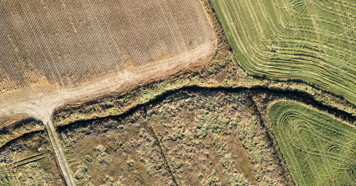
Organising and Storing Point Cloud Data
Point cloud data generated from 3D laser scanning requires careful organisation for effective management and analysis. This data consists of millions of points, each containing three-dimensional coordinates and sometimes additional attributes like colour or intensity. Proper organisation starts with establishing a naming convention for files and folders, ensuring that data can be easily located and understood. Geographical information system (GIS) tools can enhance this process by integrating spatial data and providing visual context, aiding in both comprehension and accessibility.
Storing point cloud data presents its own set of challenges due to the large file sizes associated with 3D scans. Utilizing cloud storage solutions or dedicated servers can offer scalability and facilitate collaboration among team members. Data compression techniques may be necessary to optimize storage without significantly diminishing quality. Establishing a backup strategy is essential to prevent data loss, ensuring that all point cloud datasets are securely stored and readily available for future use or analysis.
Applications of 3D Laser Scanning in Various Industries
The versatility of 3D laser scanning has led to its adoption across multiple sectors, enhancing efficiency and accuracy. In the construction industry, for instance, it facilitates the creation of detailed site models, aiding in design validation and project management. This precision allows builders to identify potential issues before they escalate, ultimately saving time and reducing costs. Similarly, heritage conservation projects benefit significantly from this technology, as it captures intricate details of historical structures. By creating accurate digital replicas, conservationists can monitor degradation over time and plan restoration efforts more effectively.
Mining operations have also embraced 3D laser scanning as a tool for improved resource management. The technology enables comprehensive surveys of mine sites, offering insights into geological formations and mineral deposits. By providing real-time data, it reduces the risks associated with mining activities and enhances safety protocols. This approach not only optimises extraction processes but also supports environmental compliance by monitoring land use and potential impacts. Ultimately, the integration of 3D laser scanning across various industries showcases its transformative potential in improving productivity and decision-making.
Exploring Use Cases in Construction, Heritage, and Mining
In construction, 3D laser scanning plays a pivotal role in improving accuracy and efficiency throughout the project lifecycle. It enables the detailed mapping of existing conditions, allowing for precise planning and design adjustments. Contractors can capture the dimensions and orientations of structures before construction begins, significantly reducing the risk of errors. Additionally, this technology facilitates ongoing monitoring of progress, ensuring that any deviations from the original design are identified promptly.
The heritage sector benefits from 3D laser scanning through its ability to create highly detailed digital replicas of historical sites and artefacts. This process supports preservation efforts by providing a non-invasive means to document conditions over time. In mining, the technology is vital for surveying large areas, enabling the efficient mapping of terrain and resources. It enhances safety by providing accurate data on potential hazards, guiding excavation and operational decisions effectively.
Challenges in 3D Laser Scanning
The process of 3D laser scanning presents various challenges that practitioners must navigate to achieve accurate results. One significant issue lies in data acquisition, where environmental factors such as lighting and weather conditions can adversely affect scan quality. In complex urban settings, obstacles like buildings and vegetation may obstruct the scanner’s line of sight, leading to incomplete data capture. Consequently, surveyors often need to devise strategic scanning plans that account for these potential interferences.
Data management can also be a daunting task, particularly when dealing with large point cloud datasets. The sheer volume of data generated requires efficient storage solutions and processing capabilities. Additionally, extracting meaningful information from these vast datasets can be labour-intensive and sometimes demands specialised software tools. Adapting workflows to effectively handle and manipulate point cloud data remains a critical challenge for professionals in the field.
Common Issues and How to Overcome Them
3D laser scanning presents several challenges that professionals must navigate to ensure accurate and effective outcomes. One common issue is data quality, which can be affected by environmental conditions such as lighting or weather. Ensuring that equipment is calibrated correctly and that scans are taken at optimal times can mitigate these effects. Additionally, managing the large volumes of data generated can overwhelm some systems. Implementing robust data management software aids in structuring and storing the point cloud data efficiently.
Another challenge lies in the integration of 3D laser scanning outputs with other survey data or existing software systems. Incompatibility between different formats can lead to potential hurdles in data analysis and usage. Selecting versatile software that supports multiple file types can help streamline this process. Training teams to understand various software capabilities ensures that they can extract the most value from the collected data. Increased emphasis on education around 3D scanning technologies will also pave the way for smoother project execution.
FAQS
What is 3D laser scanning?
3D laser scanning is a technology that uses laser beams to capture precise measurements of objects and environments, creating a detailed 3D representation known as a point cloud.
How is point cloud data managed in 3D laser scanning?
Point cloud data is managed through careful organisation and storage practices, often utilising software tools that allow for efficient processing, visualisation, and integration with other data types.
What are some common applications of 3D laser scanning?
3D laser scanning is widely used in various industries, including construction for site documentation, heritage conservation for restoration purposes, and mining for mapping and assessing sites.
What challenges might one encounter when using 3D laser scanning?
Common challenges include dealing with large data sets, ensuring data accuracy, and managing the complexities of integrating scanned data with existing systems.
How can one overcome the challenges associated with 3D laser scanning?
Overcoming these challenges often involves investing in robust data management solutions, ensuring proper training for operators, and utilising advanced software tools for data processing and analysis.
Related Links
The Advantages of 3D Laser Scanning for Accurate Land MeasurementCase Studies: Successful Implementations of 3D Laser Scanning
Cost-Benefit Analysis of Adopting 3D Laser Scanning in Surveys
Training and Skills Required for Effective 3D Laser Scanning
Advanced Techniques in 3D Laser Scanning for Geospatial Analysis
The Future of 3D Laser Scanning in Australian Land Surveying